The Inca Roads are an extensive network of stone paths that cross six countries in South America and were partly developed and built by the Inca Empire more than 500 years ago. What were the functions of this road network? They were a vital part of the growth of what was known as the Tahuantinsuyo.
UNESCO considers these roads a World Cultural Heritage Site. For this reason, certain intact sections are protected and preserved for future generations.


Table of Contents
The Inca Roads, or “Qhapaq Ñan,” are an extensive connection of Inca trails. Their purpose was to link the entire territory of the Tahuantinsuyo with the most important cities of the empire, such as the city of Cusco.
Initially, the Incas and earlier civilizations built this engineering work with more than 30,000 kilometers of roads, using stone as the main material. It is important to note that they did not know how to use the wheel during its construction.
The Qhapaq Ñan, or Inca Roads, were an important road network used to connect the Tahuantinsuyo. These roads crossed rugged territories, such as the Andes, linking the entire territory from north to south.
Although they were built to connect the entire population, some sections were reserved exclusively for Inca royalty, while others were intended for common people.
These roads allowed the rapid movement of Inca armies, messengers, and merchants. They were built during the expansionist period of the Incas, with the purpose of integrating and controlling newly incorporated territories and keeping them under authority.
The Inca roads are composed of two main or central routes, from which multiple branches and shorter paths extend. They connected cities as far north as Quito, in what is now Ecuador, to southern settlements such as Tucumán, in present-day Argentina.
The central point of this ancient road network was the city of Cusco. The Inca Empire was divided into four regions, or “suyos,” which were:
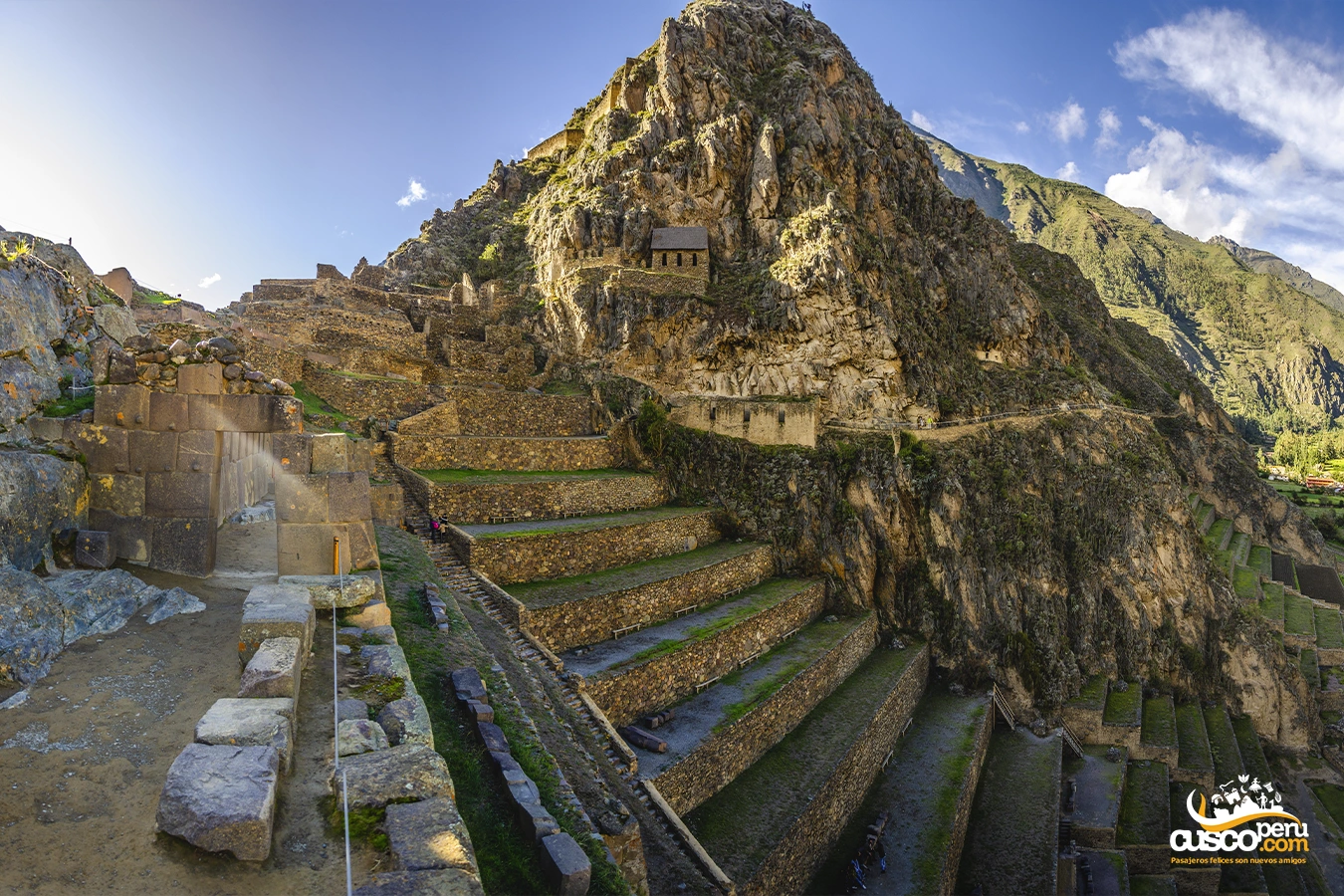
The elements that make up the Inca road network include stone-paved roads, stone bridges found throughout this extensive system of routes, and tambos. The road width ranges from one and a half meters to fifteen meters.
Researchers have wondered how structures such as Machu Picchu remain standing in difficult conditions. The same question applies to the Inca road network. Recent studies have used modern engineering techniques, as well as state-of-the-art equipment, to discover the reason behind this mystery, reaching several conclusions:
More than 1,300 years ago, civilizations such as the Tiwanaku and Wari built the oldest sections of this ancestral road network. This network, also known by the Quechua name “Qhapaq Ñan,” means main road. The main objective when building these roads was to connect different geographic regions, since many important cities were located high in the Andes mountains, making access difficult.
Many stretches or sections of this route were built to connect ceremonial worship centers with mountains or Apus, as is the case of the road between the citadel of Pachacamac, located near the sea, and the immense Pariacaca snow-capped mountain, which rises more than 5,700 meters above sea level.
After the conquest, several sections were used by the Spanish to travel through the Andean territory.
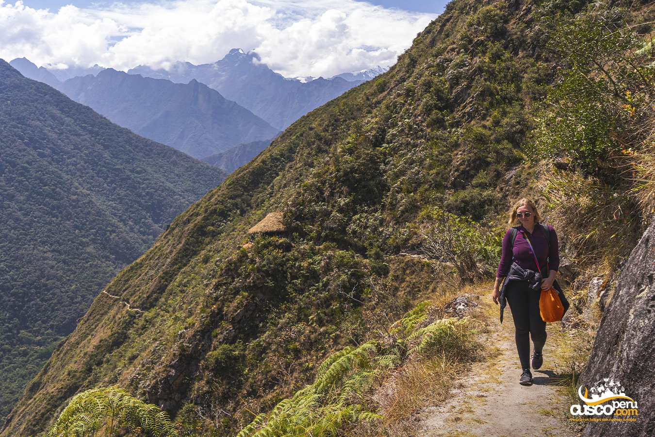
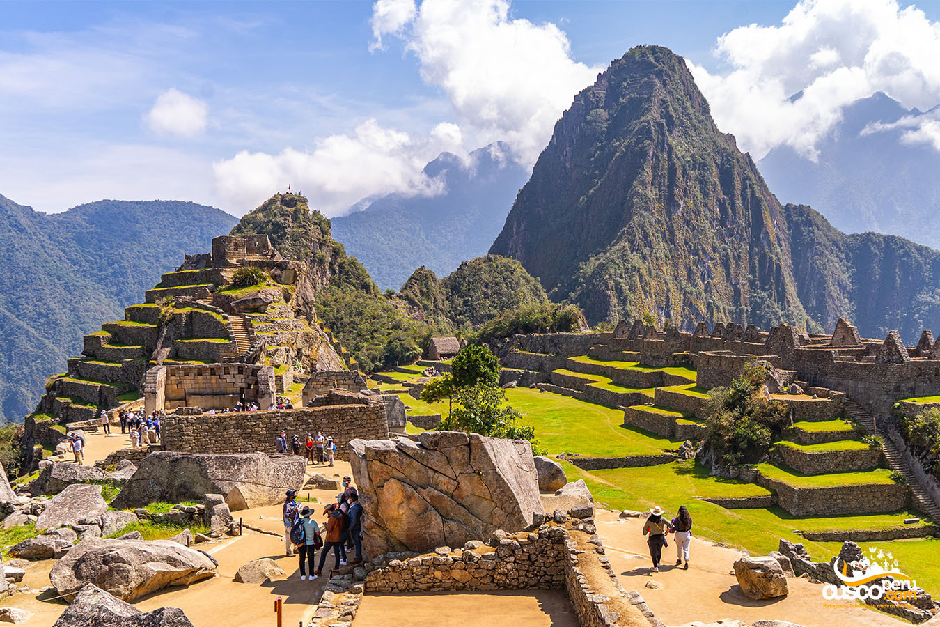
The world-famous Inca Trail to Machu Picchu, approximately 40 kilometers long, ends at the Inca citadel and is only one part of the extensive Inca Road network.
The Inca Trail was a crucial route within the Qhapaq Ñan, connecting the imperial city of Cusco with the Inca citadel of Machu Picchu. This route is one of the best-known historical access routes to the Inca citadel and also facilitated trade, communication, and army mobilization.
For tourists visiting Peru, walking the Inca Trail to Machu Picchu is an experience that allows them to get closer to Andean history and landscapes while connecting with the country’s history and culture. Along the route, visitors can explore ancient archaeological sites and enjoy breathtaking natural scenery.
However, it is important to keep in mind that the Inca Trail is a protected route subject to strict regulations. Travelers interested in doing this hike must book in advance and follow the established guidelines.

Happy passengers